Dar es Salaam – Introduction to Informal Tanzania
Posted: August 15th, 2011 | Author: Erica Hagen | Filed under: tandale, Tanzania, Uncategorized | 1 Comment »In June, GroundTruth began planning a project in Dar es Salaam, supported by the World Bank and Twaweza. We’re training in both mapping and citizen reporting in Tandale, an informal settlement of Dar. During August, we’ll be working with both community members and urban planning students at Ardhi University to create maps and build reporting resources for this community.
Since Tanzania is so close to Kenya, we wanted to involve Map Kibera Trust members as much as possible in training their neighbors. Though they share a language, socially and politically Tanzania is about as far from Kenya as you can imagine for a country whose border with its neighbor was only drawn during the last century. The socialist roots in the country, as well as the nation-building efforts of Julius Nyerere have left their mark. Kibera is also a far cry from Tandale, as we found out in June – with a much lower population density, it suffers from problems of rapid urban growth and lack of planning, but appears much more like a rural village, with space at less of a premium and social problems that appeared to us to be much less acute. Computer and internet usage also aren’t nearly at the level they are in Nairobi. It will be interesting to see how the techniques we’ve used in Map Kibera translate here.
Map Kibera Trust members Simon Kokoyo, Lucy Fondo and Hassan Abdalla, along with project leader Mark Iliffe, have been launching the activities this past week. We’ll repost some of their blogging to paint a picture of the activities.
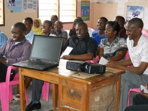
Simon posted on Mathare Valley Blog about the first day’s forum in Tandale:
“The forum was started off by a speech by Tandale Word Executive Manager. More than 37 people including community members. Participants were happy to learn that they can be able to produce a map about their community and use to engage with the government and NGOs in the development and improvement of infrastructure. Currently Tandale and most of Dar es Salaam appears as blank spot on the Open Street Map platform.
Some of the suggestion participants shared on how maps and the use of citizen reporting can be used for development included;
- The map produced will help improve dialogue between community and development partners for infrastructure improvements
- Through citizen mapping, the community will highlight its own issues as opposed to mainstream media which focuses on mostly the negatives
- The use of map and community reporting will help stimulate adoption of local solution to problems faced by the communities
- The community will acquire new skills in ICT helpful in mass circulation / distribution of information
For the next four weeks, Map Kibera Trust will be in Dar es Salaam training community members and students on community participatory mapping skills, use of simple technologies and citizen reporting.
LESSON LEARNT: Communities are capable of interpreting maps they have participated in developing and using it to initiate dialogue with development partners and government agencies. What communities needs is ‘method’ of presenting the data collected.”
Lucy and Hassan will be writing updates on most days about their experience. Their posts are on Map Kibera’s blog.
Here is Lucy’s take on working with women in Tandale: “Today (9/8/2011) I was in the company of community members from Tandale, Dar es Salaam to help them undertake mapping of their own community and also talk about community media. To be in Tandale, Tanzania was exciting but being with follow women was even more exciting. When starting the discussion about the importance of mapping, it occurred to me the issues which women were relating directly consumed a lot of time.
When I asked one of the women what she would liked to be mapped in her area, she said, toilets and water points. Reasons, she said in Swahili “wakati wa mvua, jamii yangu (Mukunduge,one of the 6 sub-wards) ni kawaida mafuriko na maji machafu kuwa kila mahali†(when it rains, my community (Mukunduge) is usually flooded with dirty water everywhere).  She believes by having a map, she can be able to talk confidently and convincingly with the municipal council about flooding problem in her community.
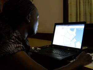
I have been in Dar es Salaam in Tandale and Sinza areas. One can witness the dominance of men in many cyber cafes. There is higher usage or percent in these cyber cafés.
Also some women were happy to learn that they will be trained on how to use video cameras  to tell their own community stories which will be put in the internet and read worldwide . I am happy that we have been able to identify both women and men who will be trained on the use of global positioning system (GPS) and how to download data into the computer.”
And, Lucy comparing Tandale’s waste collection with Kibera’s:
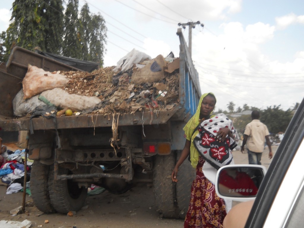
“Most of the farmers around  Dar-salaam take their agricultural produce to Sokoni market(Tandaleward).The most amazing thing about this market is that you will always see a municipal council’s lorry packed somewhere around ready to collect garbage from the market.For me, this is welfare because when I compare Sokoni market with Toi market i.e. in Kibera, I see I a big contrast. In Toi market you will never see a lorry coming to collect gabbage.The burden of garbage collection is usually left to the business owners….
My opinion is for the City Council of Nairobi to atleast deploy two lorries on weekly basis for garbage collection. I believe with this done, it will help in maintaining a clean and safe environment free from pests and diseases.”


Impressed by your mapping project. Mentioned in a recent posting on the TZGISUG website: http://www.tzgisug.org/wp/?p=221