
Announcing Release of New Map Kibera Research: Open Mapping from the Ground Up
Posted: October 12th, 2017 | Author: Erica Hagen | Filed under: Accountability and Transparency, OSM, Research | Leave a comment »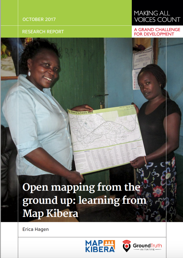
Earlier this year, I was fortunate to have the chance to research some of Map Kibera’s work over the past 8 years in the area of citizen accountability and transparency. I was interested especially in whether the maps made in Kibera had had an impact beyond the life of each project, since they were available online on OpenStreetMap and our own website, and distributed offline via paper maps and wall murals. I looked at three sectors we’d worked on —  education, water and sanitation, and security — and interviewed those who had commissioned, been given, or discovered the related maps in some way. I looked particularly at whether citizens had been able to use the maps to improve accountability and governance. This research has now been published as part of the Making All Voices Count Practitioner Research and Learning series.
The results were surprising. I found that maps had been used for a wide variety of purposes which we hadn’t known about before, including arguing for policy changes and reallocating donor resources in Kibera.
The research process involved first trying to track the maps, which was not easy. The Map Kibera team, working with research assistant Adele Manassero, asked around in Kibera, looked on social media, combed through blog posts, and otherwise tried to find out who used our maps and why. Working with open data can be messy this way. We found a number of people who said they had indeed been working with our data. Some were from various NGOs, others were in government. We also followed up on those we’d handed out the map to directly, like school heads and community leaders.
The schools map in particular, which had been the most widely distributed of our maps by far in paper form, had been used for many purposes. It had even been photocopied by the local education official to hand out to visitors. The local Member of Parliament had used it to reach out to the informal schools and create a WhatsApp group to communicate about key school information — Â and to petition Parliament for increased education resources for students in Kibera.
Part of the message here is that by sharing information widely, both digitally and on paper, AND with the backing and network of a trusted local team — Map Kibera — you can make room for impacts beyond a narrow project purpose usually associated with data collection. With all of the emphasis in ICT4D on designing directly for the end user, data collection is usually still done for the end user called the donor — or the organization’s HQ, or governmental higher-ups. Sometimes this data doesn’t even get used. In this case, I found that the better we targeted a variety of local potential “end usersâ€, like leaders of local associations, teachers, and CBOs, the more we saw uptake and impact even without intensive chaperoning of the information. Maps wound up being repurposed. This is the way, I believe, open data is supposed to work.
I suppose then the question is, why did it work this way, when so often it doesn’t? I found that collection and sharing of information by trusted local residents helped lend validity to the information, improve trust and communications between government and citizens, and bring informal sectors into the light in a way that benefitted the community. If anyone wanted to know where the data came from, the folks collecting it were right there, visible, identifiable and relatively unbiased. They could also be called upon to make corrections. Schools indeed have reached out, and recently a lot of updates were made to that data by the team. The analog method of change — being able to call someone, who lives in your neighborhood, and refer to a paper visual — is key to local social impact, even if the information collected is digital.
I’ll be blogging about a number of other things I found interesting out of this research in the weeks to come. Stay tuned!