Chalakudy and River Basin Open Data
Posted: November 24th, 2012 | Author: mikel | Filed under: India | Leave a comment »I’m trying to gather thoughts from our whirlwind spin mapping and documenting through the Chalakudy River Basin with The Blue Yonder friends; and connecting to various other half formed ideas and unprocessed experiences. You might experience a little whiplash through the mental landscape, but no worse than than the twists and turns of Kerala roads…
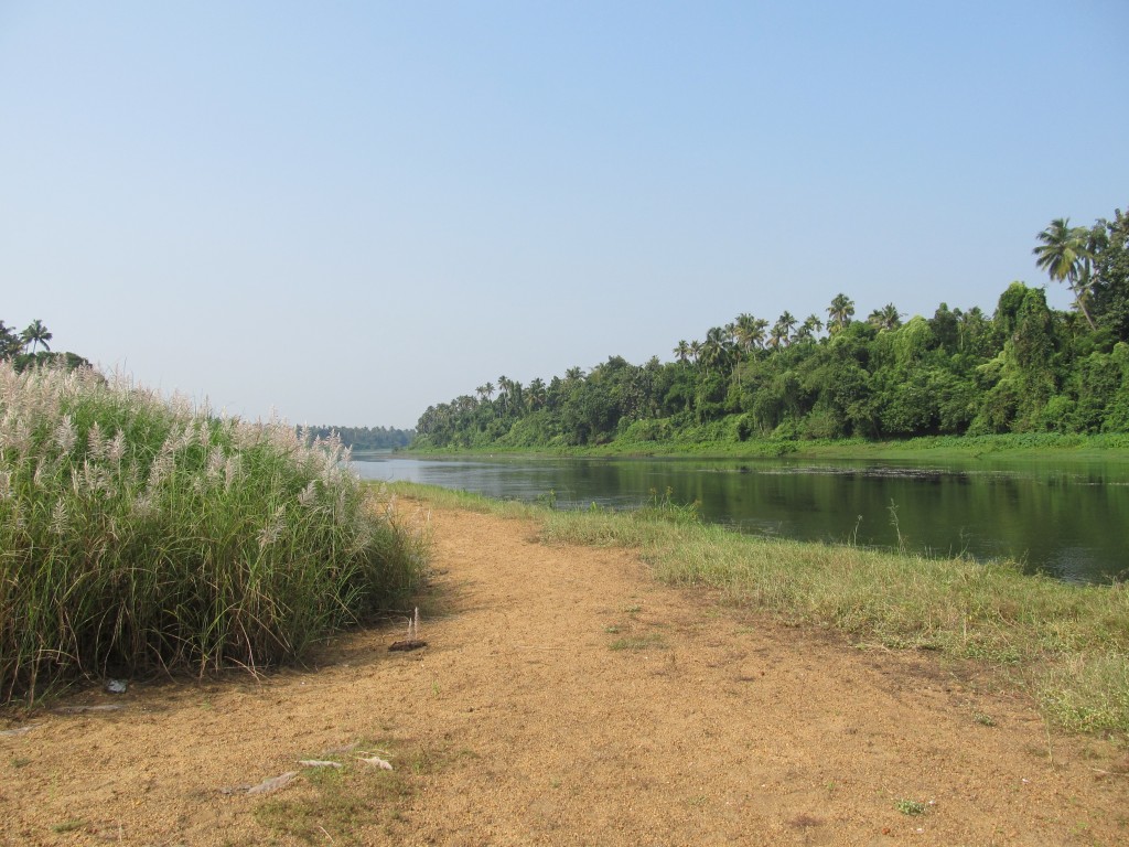
The last remaining sand bank on Chalakudy River. It remains due to local agitation and proximity to religious sites. The rest have disappeared to sand mining
We have decamped 12 kms from Chalakudy, The Blue Yonder is renting us a hotel room (in five hour increments) to take advantage of the sort-of usable wifi, and crush the last few days of experience and ideas into software, maps and media. Passing by in the streets below is a jeep, flying the hammer and sickle flag, announcing monotonously and over loud-speaker in Malayalam, appointments to various local committees. Prakash is uploading videos and making reports on an Ushahidi instance running locally on my laptop, configured with custom map tiles resulting from another three days of epic drives of Kerala (that platform is now online here. Every responsible tourism spot we’ve visited is being sketched in a report, pictures, videos; and already mapped in OpenStreetMap (tourism=responsible). I’m excited for how many ways openness can share and preserve the amazing culture and environment of the Chalakudy river basin in Kerala. Like everywhere, Kerala faces extraordinary global pressures, and I notice how collective and individual efforts are in an everlasting interplay to protect, undermine, inspire, catalyze, smother, build and destroy these experiences and environments, yet again reflected in the global rush to digitize and connect to the global brain.
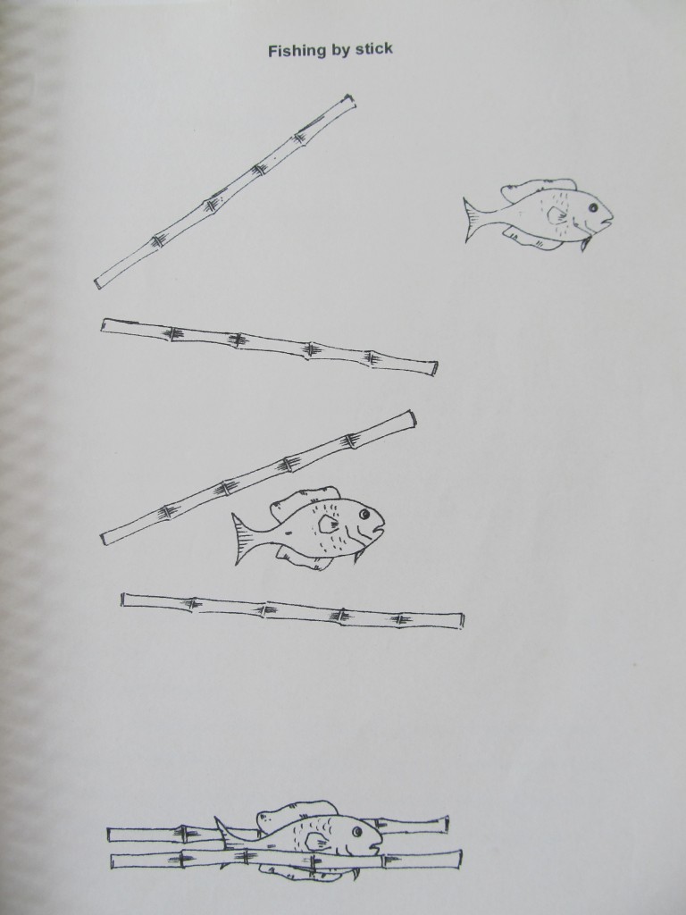
fishing by stick is a reality
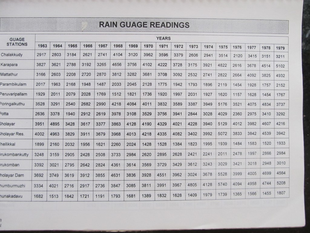
Chalakudy is Kerala’s most wild river, with the highest biodiversity of all Keralan rivers, largely lying within the rugged landscape of a forest reserve. Each morning, with several cups of chai acquired from the road side shop down the way (poured in meter long hand movements by a woman who works every sunlit hour, and many dark ones, except for a half day break on Sunday) (the road is the former tram way built by the British to expedite extraction of virgin teak forests, used among other things for reinforcing N African trenches in WW1), I read through Dr. Sunny George’s epic integrated atlas-like report on the Chalakudy watershed, covering everything from the settlement history and demographics of “scheduled tribes” (as designated in India, indigenous people who have retained their identity and largely way of life through thousands of years of contacts with various ruling structures), to land use changes over the past decades (conversion of rice patties to clay mining or conventional framing, planting of oil palm along river banks, historic exploitation of massive teak forests, and the numerous effects on water flow, retention and livelihood), to pages of tabular data indicating worrying declining flow of the river overall, to the wide diversity of traditional inland river fishing styles (reflecting fish biodiversity, and even including the unbelievable technique of catching fish between two slowly closing sticks). It’s a wonderful primer to understanding this place, and its locked away in 400 loosely bound pages; the floppy disks holding the soft copy have perished to mold sometime in the past 10 years. Its information and data that’s difficult, almost impossible, to share and utilize, yet should be required reading for anyone making decisions about the watershed. Yet it represents only the slightest beginning of the knowledge actively enmeshed in the landscapes and cultures of Chalakudy.
Open Data Watershed
A watershed is a natural ecological and cultural boundary, plainly obvious when you know to look for it. So much of the environment and character of a place, its inter-dependencies and issues, are based not on the numerous and complicated overlap of administrative boundaries (as evidenced by the long list of offices and sources consulted for compiling in the Chalakudy report), but rather the way water flow shapes landscape and human settlement. Cities are a natural organizing principle (though only I learned at Meeting of the Minds a formal focus of study more recently), and have easily grown into the framework of Open Data (also coinciding w/ #motm12, was launched the aggregate city site cities.data.gov). Like cities, open Watersheds can be a movement with real legs, to share environmental data and build on the models of engagement across disciplines evidenced in other Open Data movements. And of course, cities are intertwined with watersheds, traditionally founded on strategic points on rivers. Conceptually, it can easily attract coders, policy makers, scientists, historians, students who have already grasped Open Data; while the watershed is a geographical unit of focus that is tangible and practical. Watersheds are nested, fractal-like structure, so that data can be shared and compared across watersheds of similar scale (through the evolution/conversations of tagging structures/flexible taxonomies) (similarly, in Cairo, Takween and Diane Singerman were developing taxonomies to more easily understand, compare, develop interventions, and support grassroots learning in informal settlements). And watershed data can be generalized to contribute to larger scale models and policy, ultimately to the global level.
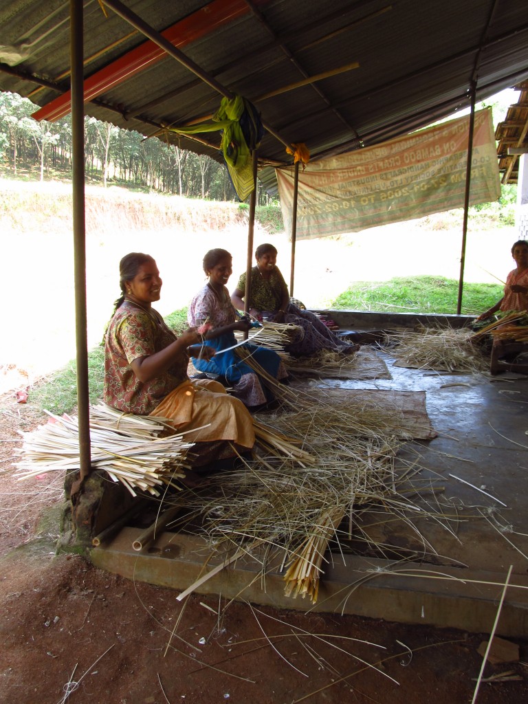
The Blue Yonder is developing the idea of design workshops, where experienced and student designers hold a month or two residency with a traditional crafts group in Chalakudy (like the Bamboo Craft workshop) and develop ideas which could be marketable to tourists and abroad (products from the Natural Fibre Craft Resource Center even now is marketed by IKEA). The same could be done for data. A big start would be looking at updating and translating to the web the Integrated Study of Chalakudy. And OpenStreetMap is an ideal platform to model and implement part of an integrative approach. In OSM, land use, water structures, tourist infrastructure are all stored together in a single database, yet seperatable for particular visualization and analysis.
Next couple posts will dig into more how open data and community media complement a responsible tourism approach, leading we hope to a methodology for addressing the issues facing river basins, as well as some more technical ideas and directions.


